Our land explained
This map shows the Ngati Hinemanu and Ngati Paki Lands today in red.
Top of the photo is the Owhaoko Block in pink. The small part in red was awarded to Winiata Te Whaaro and his people of Ngati Paki of Ngati Hinemanu and administered by the Owhaoko B & D Trust.
The next large pink area below is the Awarua-o-Te-Riu-o-Puanga. The red areas are the Aorangi Awarua and Awarua o Hinemanu Land Blocks awarded to Ngati Hinemanu Iwi and administered by the Aorangi Awarua Trust and the Te Koau Land Block also awarded to Ngati Hinemanu Iwi and administered by the Te Koau Trust.
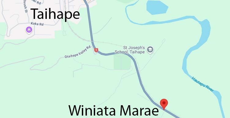
The inset to the left of the map with the areas in red are the lands awarded to Winiata Te Whaaro, Ngati Paki and Ngati Hinemanu. This is where Winiata Marae is situated just south of Taihape.
The lands in pink were awarded to Ngati Hinemanu along with others in the rohe. Ngati Hinemanu always had mana of their own alongside Tamakopiri, Whitikaupeka, Hauiti and Ohuake. Five entities.

Click map to view larger version
Rēhita Mai
Register Now
"Ehara taku toa i te toa takitahi, engari he toa takitini"
"Success is not the work of an individual, but the work of many."
We are stronger with your support. You can start an application for membership online by completing our registration form.